What Happened
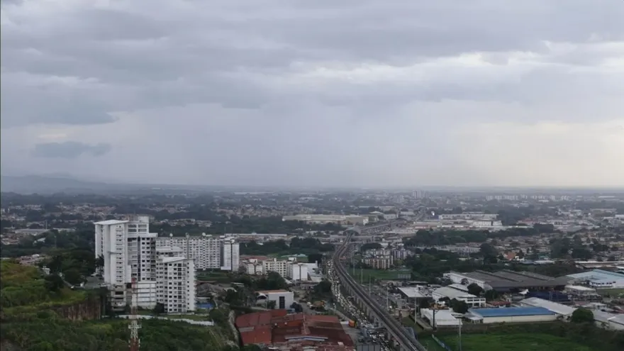
Authorities in Panama are urging caution as scattered showers and storm activity develop over maritime areas and the eastern side of the Caribbean slope. The weather pattern is expected to affect locations exposed to strong rain and storm conditions, especially in coastal and open-water zones.
The recommendation focuses on preventive measures for people traveling by sea or living in areas where heavy rainfall can quickly raise risks. Storm development in these zones can bring reduced visibility, rougher conditions, and localized flooding.
Areas Under Watch
The alert centers on maritime sectors and the eastern portion of the Caribbean slope, where showers can intensify during the day. These conditions are especially important for communities and operators that depend on marine transport, fishing, and other activities near the coast.
Because storms can form quickly in tropical weather systems, the warning also serves as a reminder for residents in low-lying or flood-prone areas to remain attentive to changing skies and rainfall intensity.
Why It Matters
Panama’s position between the Caribbean Sea and the Pacific Ocean often creates fast-changing weather patterns, particularly during rainy periods. Even scattered showers can become disruptive when combined with thunderstorms, especially for boats, small vessels, and people moving through exposed terrain.
For the public, the key concern is safety. Strong rain and storm activity can affect road conditions, coastal navigation, and daily routines in communities along the Caribbean side of the country. Staying alert to weather changes is especially important in maritime zones where conditions can shift rapidly.
Safety Reminder
Precaution is essential whenever storms begin to develop over Panama’s coastal and maritime areas. People in affected zones should follow weather updates closely and take care when traveling near the sea or through areas known for heavy rain.
As the weather pattern continues, the main focus remains on preventing incidents linked to sudden storms and keeping attention on zones most likely to experience intense precipitation.