
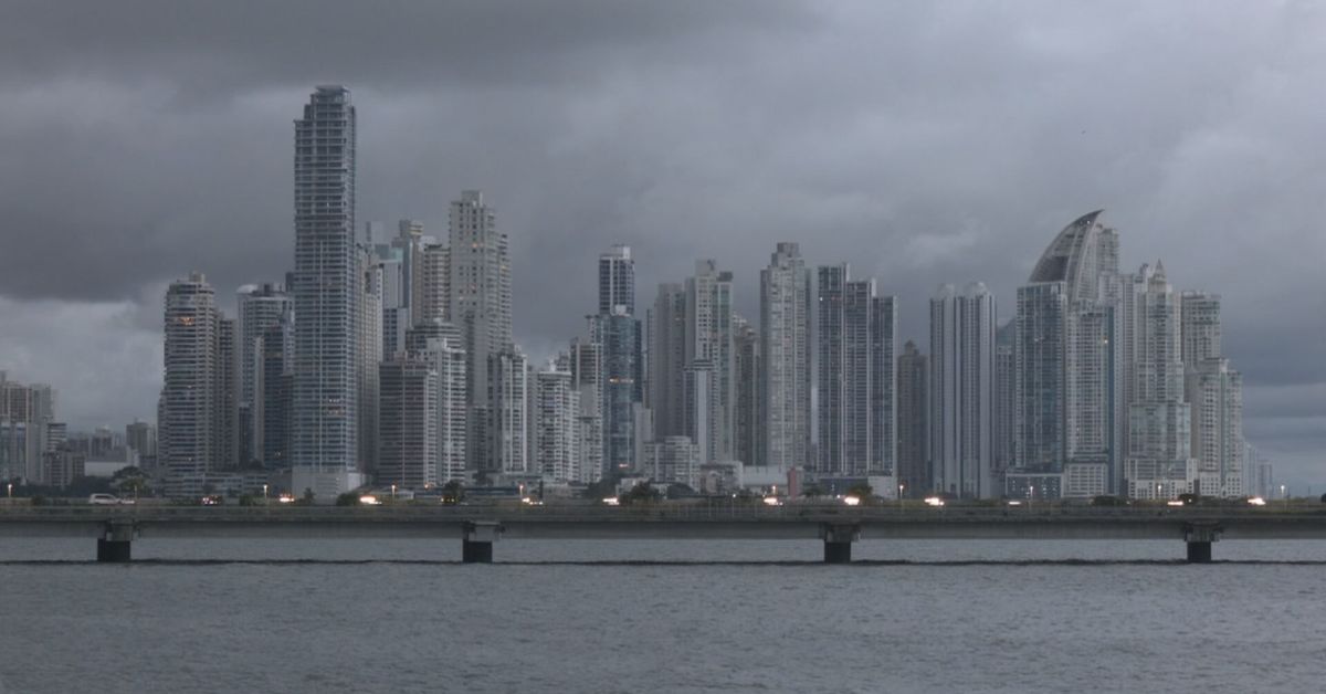
Panama City — Panama’s Institute of Meteorology and Hydrology (Imhpa) has forecast a day of intense rains and storms this Saturday, September 19, affecting several regions of the country. The weather service warns that downpours of varying intensity will be accompanied by electrical activity and wind gusts, creating conditions that could lead to waterlogging, flooding and isolated landslides in vulnerable areas.
What Happened
According to Imhpa’s forecast, Saturday’s weather across Panama will be marked by heavy showers of varying intensity, thunderstorms with lightning, and sudden wind gusts. The meteorological authority cautioned that these conditions raise the risk of anegaciones — standing water and waterlogged streets — as well as more serious flooding in some zones and localized landslides, particularly in areas with steep terrain or unstable soils.
The advisory applies to several parts of the country, urging residents in affected regions to stay informed through official Imhpa channels as conditions develop throughout the day. The combination of intense rainfall, electrical storms and gusting winds is typical of the rainiest stretch of Panama’s wet season, when saturation of soils and drainage systems can quickly turn severe weather into hazardous conditions.
Background
Panama’s climate is defined by two marked seasons: a dry season that generally runs from December through April, and a rainy season that dominates the remainder of the year. September falls squarely within the wettest period, when afternoon and evening thunderstorms are common across much of the national territory, especially in the Pacific watershed and the interior provinces.
During this time of year, the Intertropical Convergence Zone and other weather patterns frequently bring organized areas of rain and storms over the isthmus. Heavy rainfall events can overwhelm urban drainage in cities such as Panama City and Colón, where street flooding and standing water regularly disrupt traffic and daily life. In rural and mountainous regions — including parts of Chiriquí, Veraguas and Coclé — saturated hillsides are prone to landslides that can block roads and endanger communities.
The Institute of Meteorology and Hydrology (Imhpa) is the country’s official meteorological authority, responsible for issuing forecasts, warnings and advisories that guide both the public and government agencies, including the SINAPROC national civil protection service, in preparing for severe weather.
What This Means for Panama
For residents in the affected zones, Saturday’s forecast is a reminder to take routine but important precautions: avoiding crossing flooded streets, staying away from rivers and streams that can rise rapidly, and refraining from outdoor activities while electrical storms are active. Motorists should expect reduced visibility and possible water accumulation on roads, and allow extra travel time.
The possibility of landslides means communities in hilly or mountainous areas should remain alert to signs of ground movement and follow any instructions issued by civil protection authorities. Those in flood-prone zones may wish to secure belongings and review household emergency plans before the heaviest rains arrive.
For the country more broadly, severe weather days like this one test the capacity of urban drainage systems and emergency response coordination. Repeated episodes of flooding in recent years have kept pressure on authorities to improve stormwater infrastructure in rapidly growing metropolitan areas, while rural regions depend on early warnings to prevent tragedies during the wet season.
Residents should continue monitoring official Imhpa forecasts and bulletins throughout Saturday, as conditions can evolve quickly during the rainy season. Updates from the meteorological institute and Panama’s civil protection agencies will indicate whether additional warnings or alerts become necessary as the day progresses.
This story was originally reported by TVN 2.