
What Happened
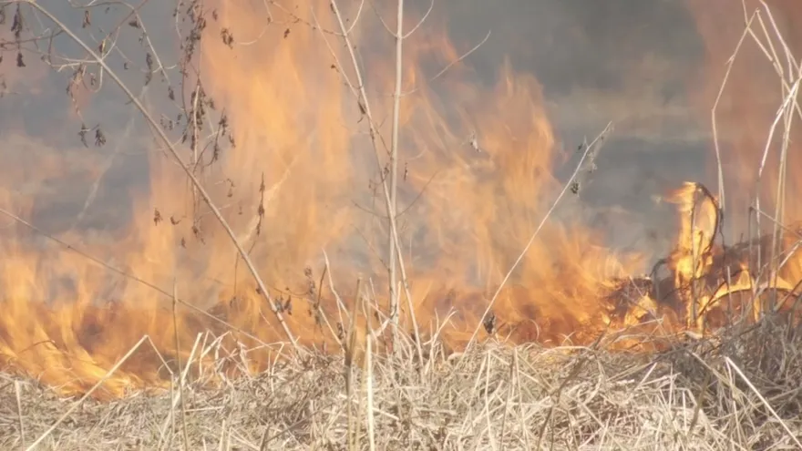
Satellite data has identified where wildfires are most concentrated in Panama, showing a clear geographic pattern in the country’s fire activity. Veraguas accounts for 20% of the fires detected, making it the province with the highest share.
Panama and Coclé follow as the next most affected provinces, highlighting that fire risk is not limited to one area of the country. The pattern reflects a broader concern for communities, ecosystems, and land use in provinces where dry conditions and vegetation can quickly turn a small blaze into a larger emergency.
Key Fire Zones
Among the emerging hotspots, La Yeguada stands out because of the vulnerability of its pine cover to fire. Pine forests can be especially exposed when conditions are dry, and that increases the importance of prevention and monitoring in the area.
The concentration of incidents in Veraguas and the presence of vulnerable terrain in La Yeguada make central Panama a focal point for fire surveillance. These findings can help guide response efforts, resource placement, and preventive measures during high-risk periods.
Why It Matters
Knowing where fires cluster is essential for improving early warning systems and prioritizing the areas most likely to be affected. In Panama, that information is particularly valuable for protecting forested land, rural communities, and agricultural zones that can suffer losses from uncontrolled burns.
Satellite monitoring also gives authorities and emergency teams a broader view of fire behavior across the country, helping them identify trends that may not be obvious from ground observations alone. As fire seasons intensify, this kind of mapping becomes a practical tool for managing risk and focusing attention on the provinces most exposed.
Panama’s Fire Risk Landscape
The concentration of fires in Veraguas, Panama, and Coclé shows that fire prevention needs to be region-specific. Areas with vulnerable vegetation, including pine coverage in La Yeguada, require special attention because of the speed at which flames can spread.
With satellite-based identification of hotspots, Panama gains a clearer picture of where prevention efforts can have the greatest impact. That makes targeted monitoring an important part of reducing damage and protecting landscapes across the country.